A Timeless Skill Set for the Modern Aviator
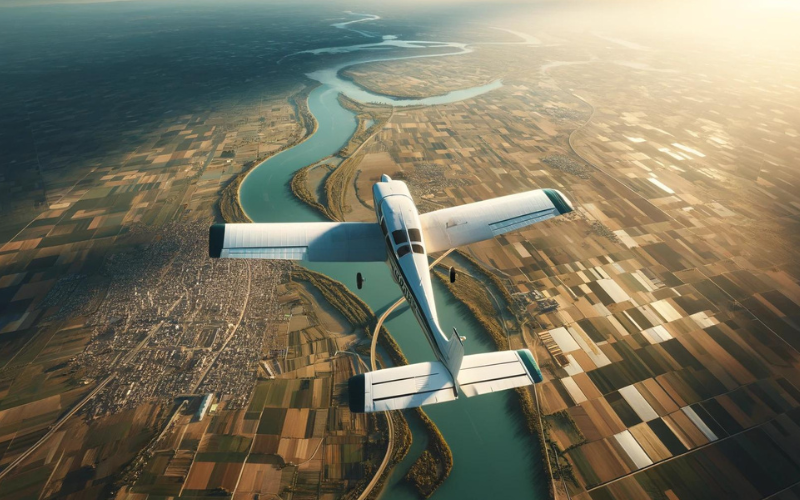
For aspiring aviation engineers, understanding the fundamentals of aircraft navigation is paramount. Pilotage, a time-tested discipline that merges visual observation with meticulous map interpretation, stands as the foundation upon which many contemporary navigational methods are constructed. This comprehensive analysis delves into the intricate world of pilotage, exploring its technical underpinnings, operational applications, inherent constraints, and enduring relevance in the age of advanced avionics.
For a broader view of navigation, particularly as applied in military aircraft see ”Navigating the Skies – Military Aircraft Navigation” blog here.
A Legacy Forged in Time: The Enduring Allure of Pilotage
The practice of pilotage boasts a rich and storied past, predating even the most rudimentary flight instruments. Early aviators, from the intrepid hot air balloon pioneers to the trailblazers of fixed-wing flight, relied solely on their ability to identify landmarks, assess terrain features, and correlate them with basic maps for navigation. As technological advancements unfolded, pilotage techniques adapted accordingly. The invention of the sextant facilitated celestial navigation, enabling pilotage over extended distances, particularly over water. The development of radio beacons and early radio navigation aids such as VOR (Very High-frequency Omnidirectional Range) stations provided additional reference points for pilots, further enhancing the effectiveness of pilotage.

Beyond Landmark Recognition: A Spectrum of Advanced Pilotage Techniques
While fundamental pilotage rests upon the identification of prominent landmarks, proficient aviators employ a repertoire of advanced techniques to refine their navigational accuracy:
- Pilotage by Estimated Position (PEP): This technique leverages the principles of dead reckoning, incorporating wind speed and direction to provide a more precise estimate of the aircraft’s current position. Pilots utilise pilotage observations of landmarks to validate and rectify dead reckoning calculations throughout the flight.
- Pilotage by Chart Comparison (PCC): PCC entails meticulous comparison of the aircraft’s ground track (the actual path followed over the ground) with the charted course. By recognising deviations from the planned route based on pilotage observations, pilots can execute necessary course corrections to maintain their intended track.
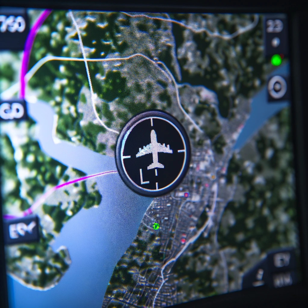
- Electronic Pilotage Systems (EPS): While not strictly pilotage in the conventional sense, EPS integrates digital chart information with a dynamic map display on a cockpit screen. Pilots can overlay their GPS position on the digital chart, bolstering situational awareness and providing a valuable tool for pilotage in conjunction with visual observations.

Technical Considerations: Aeronautical Charts – A Pilotage Ally
Aeronautical charts, specifically designed for pilotage, play a critical role in successful navigation. These charts depict a wealth of information essential for pilots, including:
- Topography and Terrain Features: A clear representation of mountains, rivers, coastlines, and other prominent geographical features enables pilots to identify landmarks and establish their position relative to charted courses.
- Man-made Features: Airports, radio navigation aids, power lines, and other man-made structures are depicted on charts, providing additional reference points for pilotage, particularly in featureless terrain.
- Airspace Restrictions: Charts clearly delineate controlled airspace boundaries, ensuring pilots remain compliant with regulations and maintain separation from other aircraft.
- Navigation Symbols and Annotations: Standardised symbols and annotations on aeronautical charts convey vital information about navaids (navigational aids), airspace classifications, and other critical details relevant for safe and efficient pilotage.
Effective chart reading skills are paramount for pilots to interpret this wealth of information and translate it into actionable decisions during pilotage. Pilots must be proficient in:
- Map Scales and Symbology: Understanding the scale of the chart and the meaning of various symbols allows for accurate distance and direction determination based on pilotage observations.
- Dead Reckoning Integration: Pilots correlate their dead reckoning calculations with chart information to maintain a clear picture of their position and track throughout the flight.
- Wind Correction Techniques: Wind speed and direction can significantly influence the aircraft’s ground track. Pilots factor in these factors when interpreting chart data and planning pilotage manoeuvres.
The Human Touch: Beyond Technical Proficiency in Pilotage
Beyond the technical aspects, human factors play a crucial role in successful pilotage:
- Spatial Disorientation and the Significance of Vestibular System Function: The ability to maintain spatial orientation is paramount for pilots during pilotage manoeuvres. The vestibular system, located in the inner ear, plays a vital role in balance and spatial awareness. Pilots susceptible to spatial disorientation (the inability to determine their position in space) can face challenges during pilotage, especially in scenarios with limited visual references.
- Decision-Making Under Pressure: The Role of Risk Management: Pilots continuously evaluate situations and make critical choices based on their pilotage observations. Factors such as deteriorating visibility, unfamiliar terrain, or potential obstacles necessitate sound risk management skills. Pilots need to assess potential hazards and adapt their flight path or navigation strategy accordingly, potentially transitioning to instrument procedures if necessary.
A Universe of Symbols: Understanding Aeronautical Chart Symbology
Aeronautical charts employ a standardized system of symbols to depict a multitude of features relevant for navigation. Pilots must possess a comprehensive understanding of these symbols to interpret the information on the chart and correlate it with their visual observations during pilotage:
- Aerodromes (Airports): Airports of various sizes and classifications are depicted using specific symbols, allowing pilots to identify potential landing sites, refueling locations, and airspace restrictions in their vicinity.
- Navigation Aids: Radio beacons, VOR stations, GPS reference points, and other navigational aids are clearly marked on the chart, enabling pilots to utilise them for electronic navigation and to supplement pilotage observations.
- Topography and Terrain Features: Mountains, hills, rivers, coastlines, and other prominent geographical features are represented using standardized symbols. Recognizing these landmarks during flight allows pilots to pinpoint their location relative to the charted course.
- Airspace Classifications: Controlled airspace boundaries are clearly delineated on the chart, using different colors and shadings to differentiate between airspace classifications such as Class B, C, and E. Understanding these classifications is essential for pilots to maintain safe separation from other aircraft.
- Obstacles and Restricted Areas: Man-made obstacles like power lines, tall buildings, and restricted airspace zones are prominently marked on the chart, alerting pilots to potential hazards and ensuring they maintain safe flight paths.
Chart Reading Proficiency: Transforming Symbols into Actionable Information
Beyond symbol recognition, effective chart reading requires a specific skillset that pilots hone through training and experience:
- Map Scales and Reference: Aeronautical charts depict geographical features at various scales. Pilots need to understand the scale of the chart they’re using to accurately measure distances and determine their position relative to landmarks. Additionally, they must be familiar with reference systems like latitude and longitude for precise navigation.
- Dead Reckoning Integration: As discussed earlier, dead reckoning is a technique for estimating an aircraft’s position based on its initial location, heading, airspeed, and elapsed time. Pilots correlate their dead reckoning calculations with chart information to maintain a clear picture of their position and track throughout the flight. This continuous process of verification enhances the accuracy of pilotage, particularly over long distances.
- Wind Correction Techniques: Wind can significantly influence the aircraft’s ground track, the actual path followed over the ground. Pilots factor in wind speed and direction when interpreting chart data and planning pilotage manoeuvres. By understanding how wind affects their track, they can make necessary course corrections to stay on the charted course.
Technological Enhancements: Chart Supplements and Digital Solutions
While paper charts remain a cornerstone of pilotage, advancements in technology offer supplementary tools:
- Electronic Chart Supplements (ECS): These digital publications provide additional details not depicted on paper charts, such as runway data, airport procedures, and temporary airspace restrictions. Pilots can access ECS information on dedicated devices or through software applications, enhancing their situational awareness during pilotage.
- Electronic Pilotage Systems (EPS): As mentioned earlier, EPS integrates digital chart information with a dynamic map display on a cockpit screen. This allows pilots to overlay their GPS position on the digital chart, providing a real-time visual representation of their location relative to charted features. EPS can be particularly beneficial in low-visibility conditions or in unfamiliar territory.
Conclusion
Pilotage, despite the emergence of sophisticated avionics, remains a fundamental skill for aviators. It fosters a deep understanding of the visual environment, map interpretation, and situational awareness. By mastering pilotage techniques and effectively utilising aeronautical charts, pilots gain a critical foundation upon which to build their navigation expertise. In the dynamic world of aviation, pilotage continues to serve as a cornerstone skill, complementing and supporting advanced navigation systems for safe and efficient flight operations.


Pingback: Navigating the Skies - Military Aircraft Navigation - Engineers Retreat